Mauritius
3D Peaks
Visualizer.
Developed in collaboration with my longtime friend Assim Gopee (Vlosyros), who created the original visualizer.
An interactive 3D view of Mauritius, with 770+ geographical peaks, detailed terrain, satellite imagery and hiking trails.
Explore the live map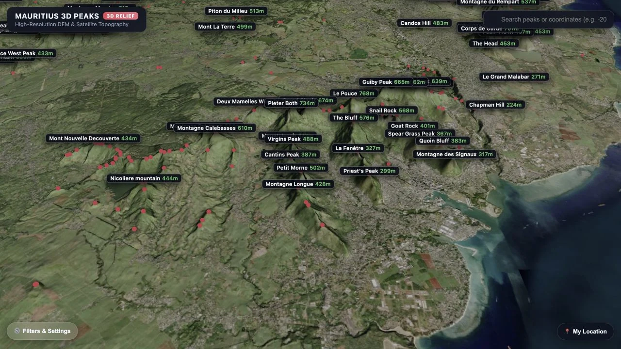
Original visualizer by Assim Gopee / Vlosyros
- Original creator
- Assim Gopee / Vlosyros
- My contribution
- Navigation, interaction & refinements
- Project year
- 2026
A shared interest
From hiking
to the map.
Assim and I share a passion for hiking and exploring Mauritius. He developed the original visualizer; I joined in to improve how people move around the map and use it.
The project connects places we explore outdoors with a different way of understanding the island’s terrain.
My part in the collaboration
Refining how it works.
My contributions focus on the experience of exploring the map, building on Assim’s original development.
- Camera & navigation
- Improving camera movement and controls for navigating the 3D terrain.
- Filters & reset
- Adding peak filters and a reset that restores the map and its settings.
- Mountain labels
- Improving interactive labels so peaks are easier to identify and select.
- GPS coordinates
- Contributing to GPS coordinate integration and location-based interaction.
- Mobile performance
- Refining rendering and interaction for mobile use.
- Hiking trail views
- Adding fullscreen views for exploring hiking trails.
- Testing & refinement
- Testing, debugging and working through details of the user experience.
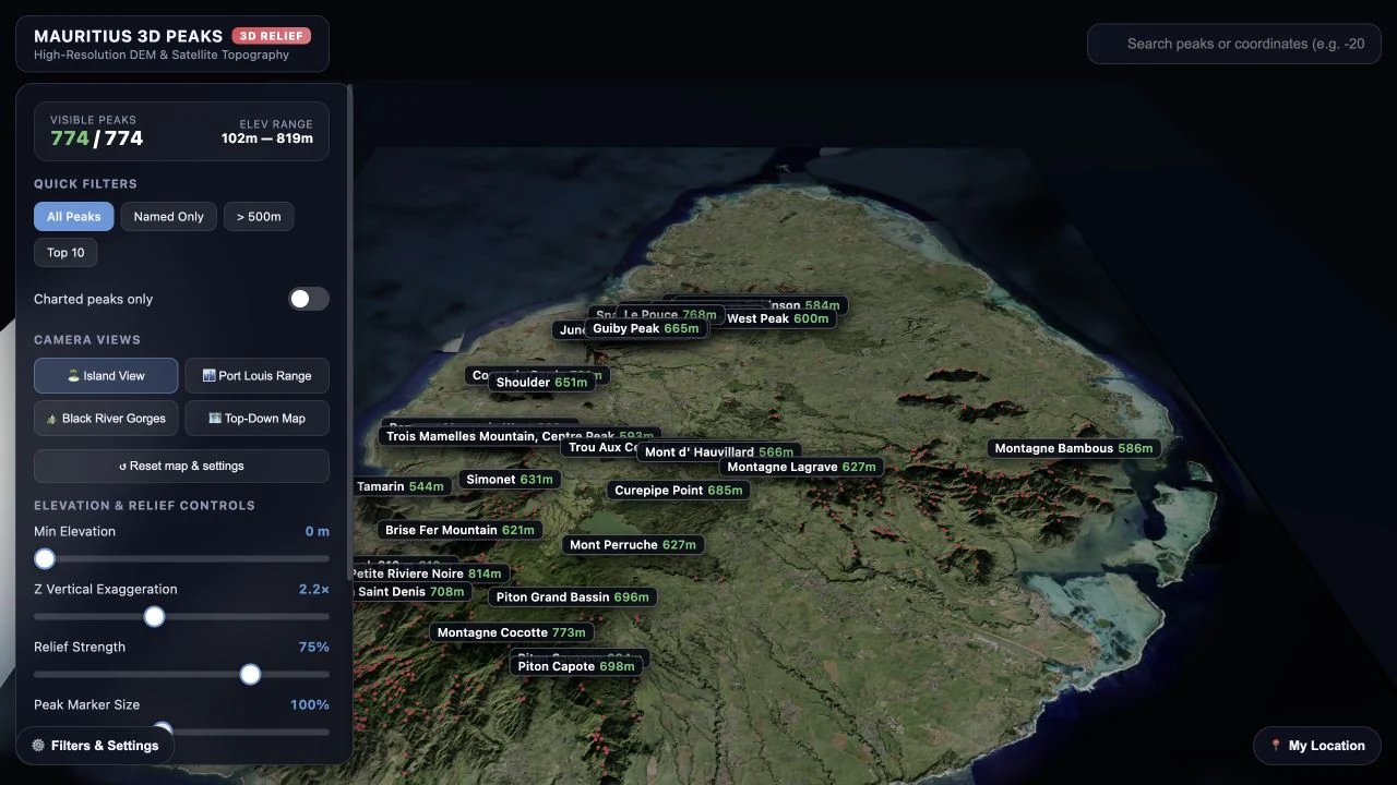
Explore the project
The map.
The code. The creator.
Open the visualizer to explore Mauritius, see the source on GitHub, or visit Assim’s website for his wider work.